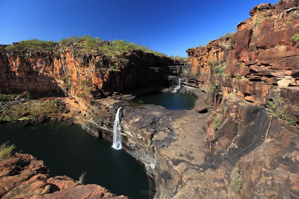
Mitchell Falls is in Mitchell River National Park, far to the north-west of Kununurra. The falls cascade over four tiers of rock into a gorge.
Ways to get there
- Scenic flight from Kununurra — some operators offer long full-day flights to the Mitchell Plateau, often combined with a helicopter flight over the falls.
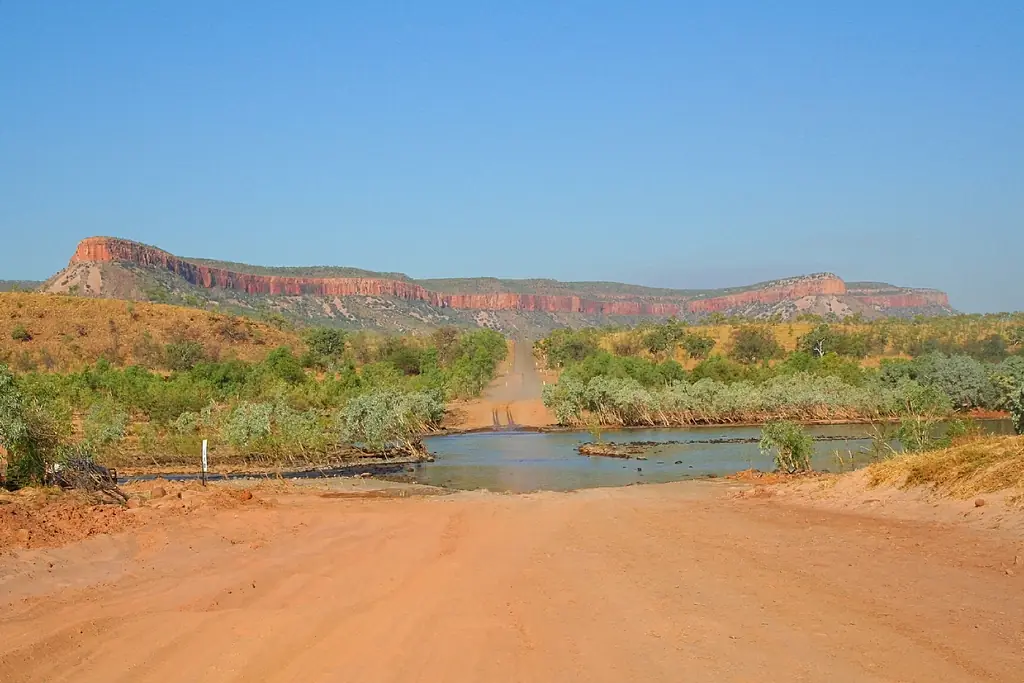
- By 4WD — via the Gibb River Road and the Kalumburu Road, then the Mitchell Plateau track. Long, rough and remote.
The walk
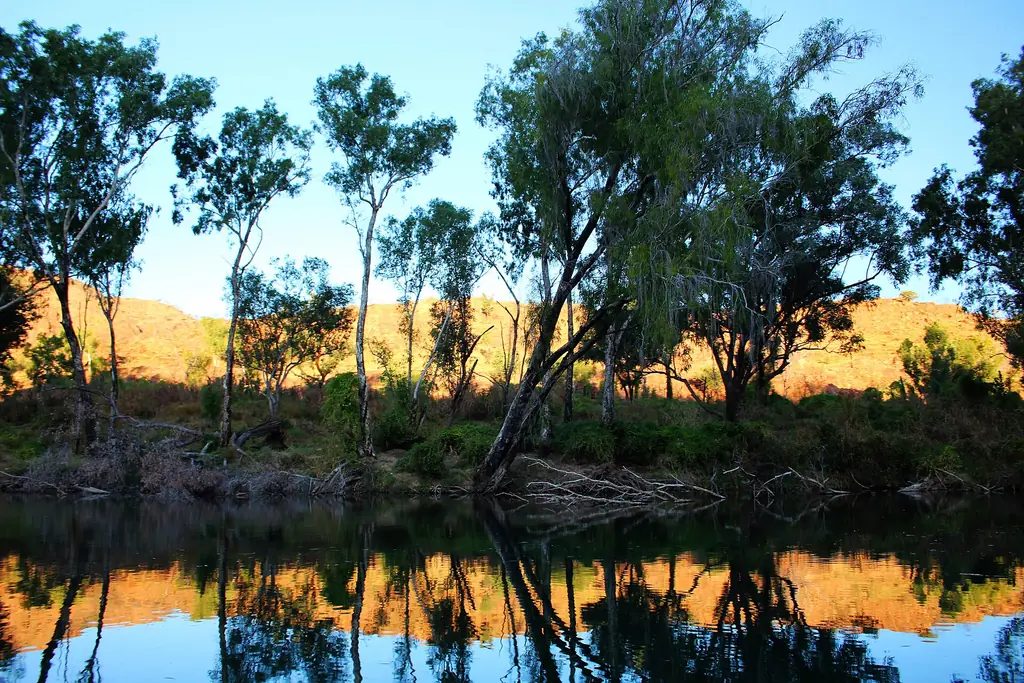
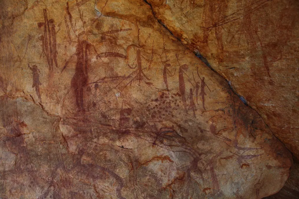
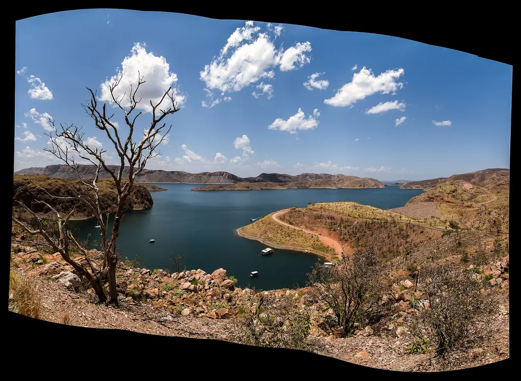
From the campground, the walk to the falls is about 4.3 km each way, passing rock art and swimming holes. Helicopter flights operate from the campground in season.
Season
Road access is dry season only, typically from around June until roads close with the wet.
Planning a self-drive trip
Allow several days. Driving from Kununurra involves the Gibb River Road and the Kalumburu Road, both unsealed and corrugated. Carry spare tyres, recovery gear, fuel and plenty of food and water. A Uunguu Visitor Pass may be required for the Mitchell Plateau — check current requirements.
Scenic flights
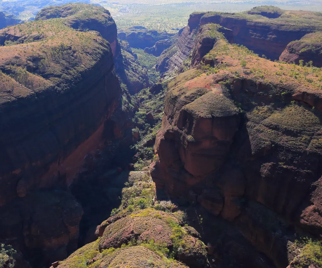
Full-day flights from Kununurra show the Kimberley coastline, the plateau and the falls from the air. Some combine a light aircraft with a helicopter landing. Seasons and prices vary by operator.
Respect
The Mitchell Plateau is Wunambal Gaambera Country. Follow signage at rock art sites and stay on marked tracks.
Frequently asked questions
Can you visit Mitchell Falls from Kununurra?
Yes, on a long scenic flight, or on a multi-day 4WD trip.
How long is the walk to Mitchell Falls?
About 4.3 km each way from the campground.
Is there a helicopter at Mitchell Falls?
Helicopter flights operate from the campground during the dry season.
When is the best time to see Mitchell Falls?
Early in the dry season, when the falls are still flowing strongly and the road has reopened.