Every photograph on eastkimberleytours.com.au shows the real place it illustrates. Images are used under the open licences listed below; we have resized and compressed them for fast loading but not otherwise altered them. Thank you to every photographer who shares their work.
| Image | Subject | Photographer | Licence | Source |
|---|---|---|---|---|
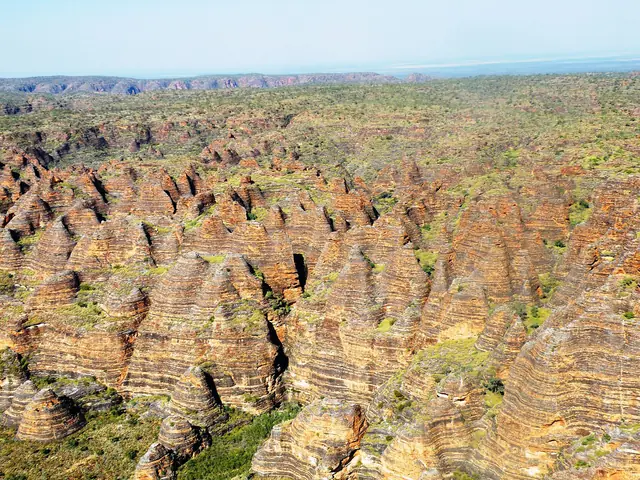 |
The orange and black striped beehive domes of the Bungle Bungle Range from the air | BriMiDra | CC BY-SA 4.0 | Source |
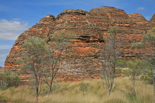 |
Beehive domes of the Bungle Bungle Range in Purnululu National Park | W. Bulach | CC BY-SA 4.0 | Source |
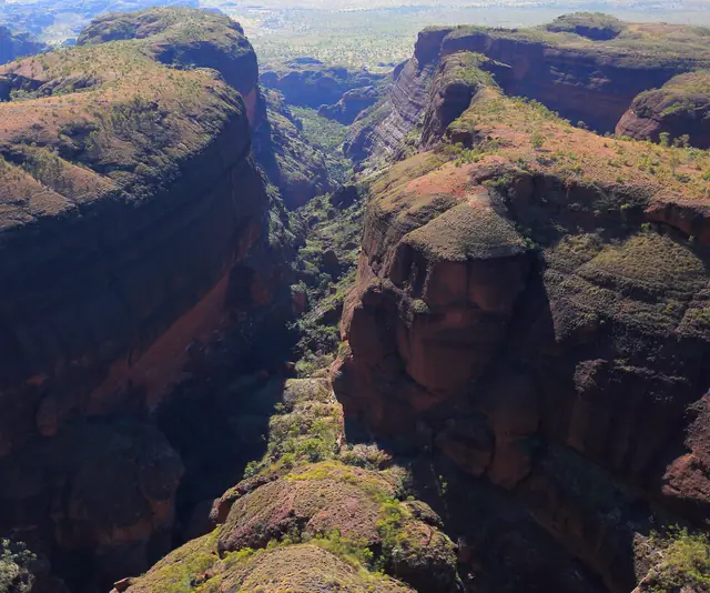 |
Aerial view of a gorge cutting through the Bungle Bungle Range | Maclearite | CC BY-SA 4.0 | Source |
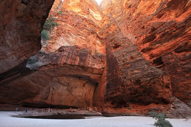 |
Inside Cathedral Gorge, a vast natural amphitheatre in Purnululu National Park | Maclearite | CC BY-SA 4.0 | Source |
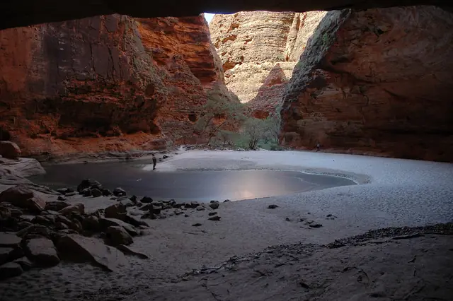 |
Towering curved walls of Cathedral Gorge in Purnululu National Park | TerryT2 | CC BY-SA 4.0 | Source |
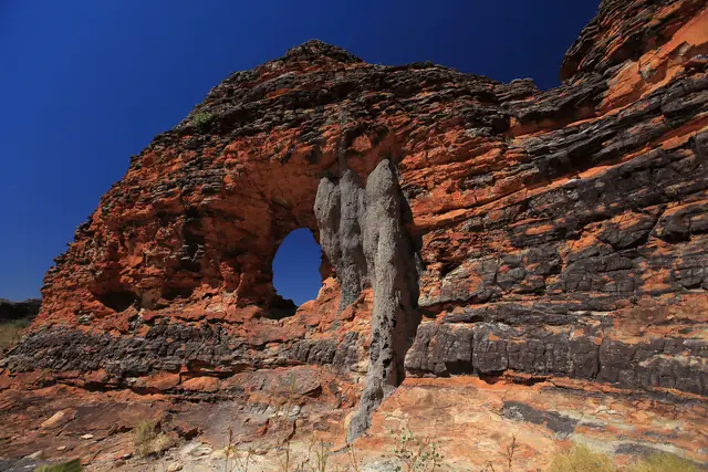 |
The Window rock formation in the Bungle Bungle Range | Maclearite | CC BY-SA 4.0 | Source |
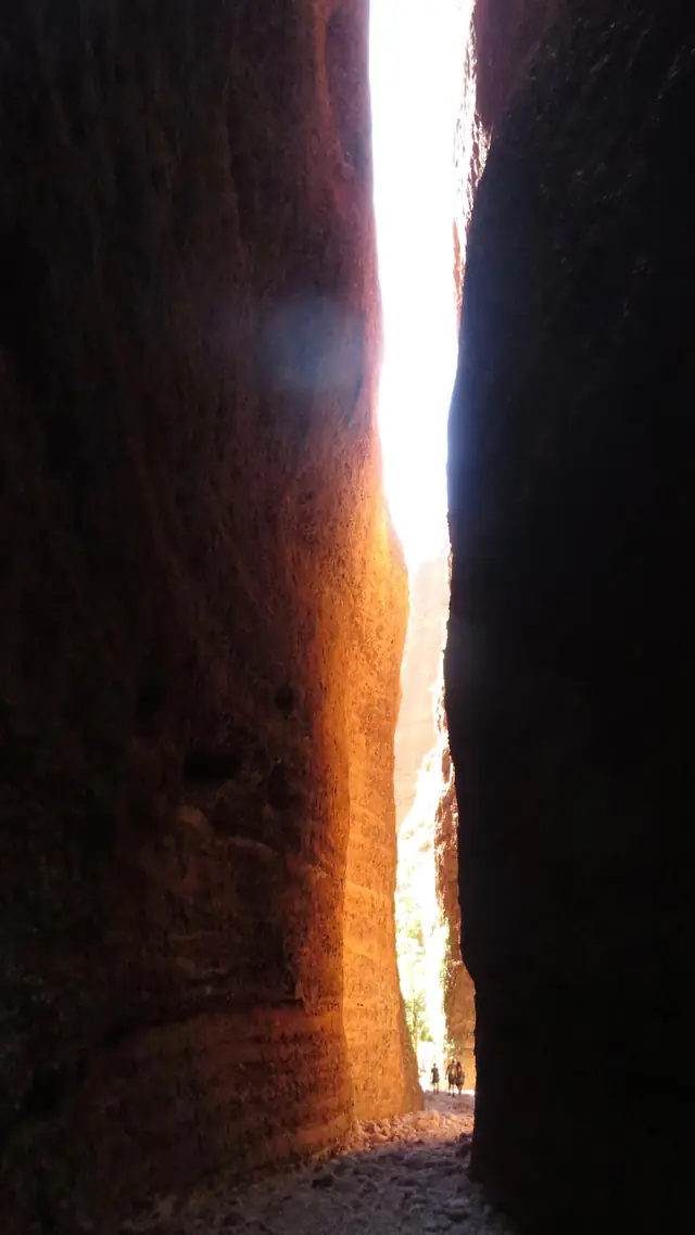 |
Narrow red walls inside Echidna Chasm, Purnululu National Park | Emily Cox | CC BY-SA 4.0 | Source |
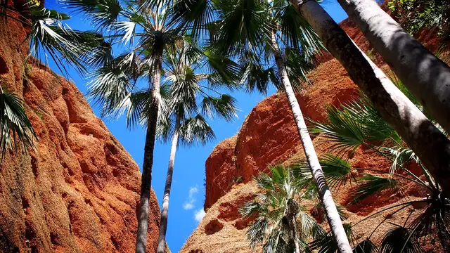 |
Livistona palms at the entrance to Echidna Chasm, Purnululu | Reesa sc | CC BY-SA 4.0 | Source |
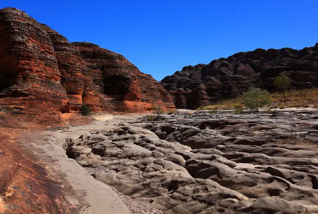 |
Piccaninny Creek bed beneath the Bungle Bungle domes | Maclearite | CC BY-SA 4.0 | Source |
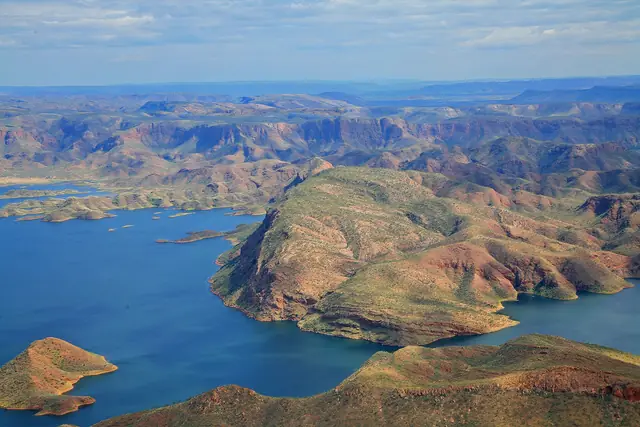 |
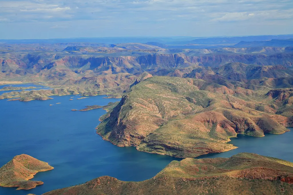
Lake Argyle, Australia’s largest reservoir, surrounded by rugged ranges | W. Bulach | CC BY-SA 4.0 | Source |
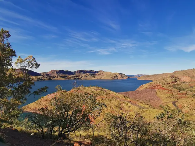 |
View over Lake Argyle near the Ord River Dam | GeorgeAdur | CC BY-SA 4.0 | Source |
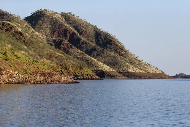 |
Ancient hills and islands rising from Lake Argyle | Jim Bendon from Karratha, Australia | CC BY-SA 2.0 | Source |
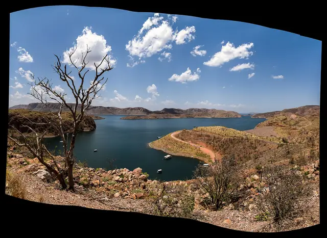 |
Lake Argyle and the Ord River Dam near Kununurra | Ben Cordia | CC BY-SA 4.0 | Source |
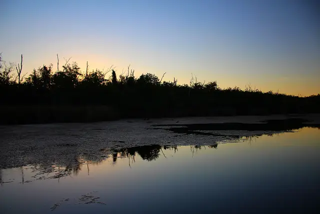 |
The Ord River at sunset in the dry season near Kununurra | Longy089 | CC BY-SA 4.0 | Source |
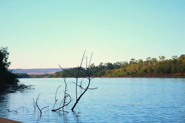 |
Calm water and cliffs along the Ord River in August | Longy089 | CC BY-SA 4.0 | Source |
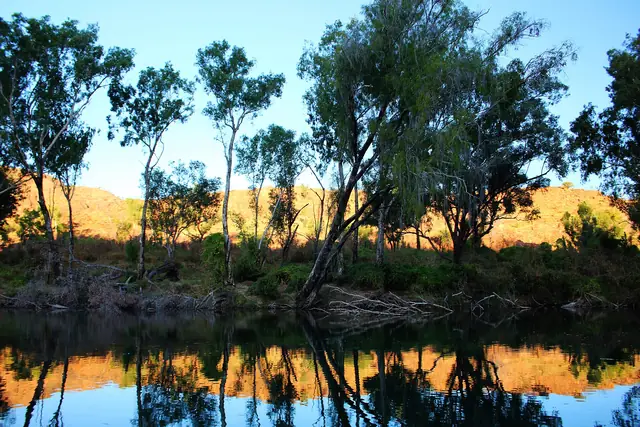 |
Ranges reflected in the still water of the Ord River | Longy089 | CC BY-SA 4.0 | Source |
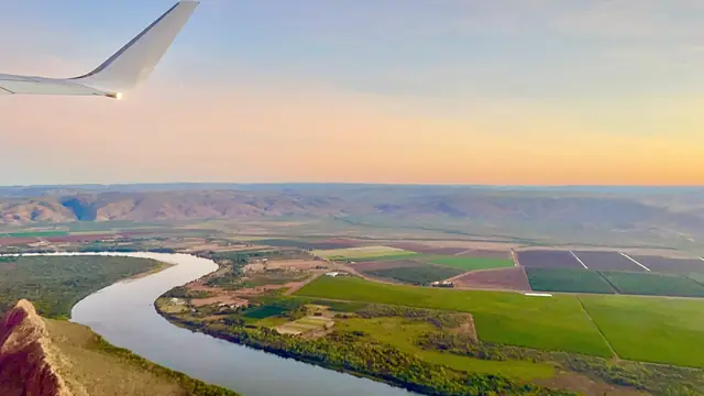 |
Aerial view of the Ord River and farmland after take-off from Kununurra | Kgbo | CC BY-SA 4.0 | Source |
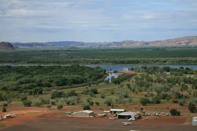 |
Kununurra township, gateway to the East Kimberley | W. Bulach | CC BY-SA 4.0 | Source |
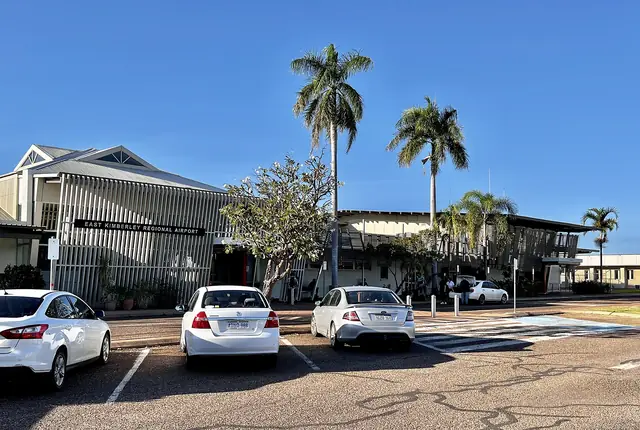 |
East Kimberley Regional Airport in Kununurra | Kgbo | CC BY-SA 4.0 | Source |
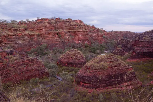 |
Striped sandstone formations in Mirima (Hidden Valley) National Park | Darksbane | CC BY-SA 4.0 | Source |
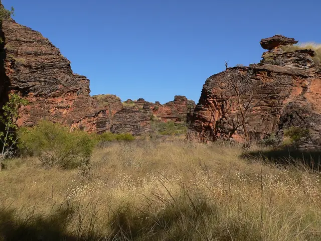 |
A valley in Mirima National Park with dry grasses and rock walls | Steven Marshall / Cardboardbird | CC BY-SA 4.0 | Source |
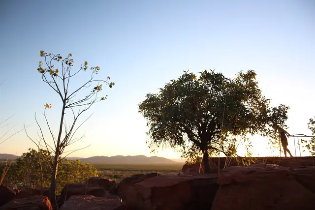 |
Panoramic view of Kununurra from Kelly's Knob Lookout | Longy089 | CC BY-SA 4.0 | Source |
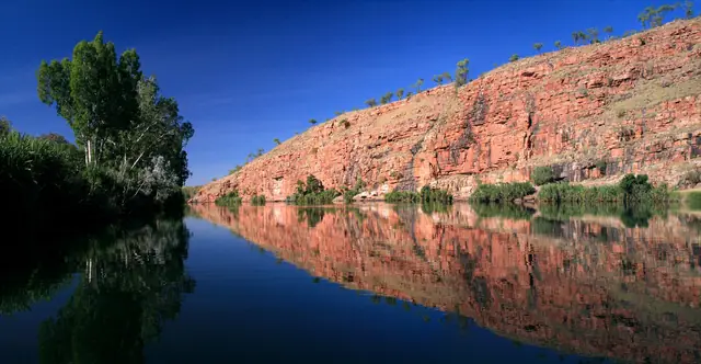 |
Chamberlain Gorge in El Questro Wilderness Park | Michel Hedley | CC BY-SA 4.0 | Source |
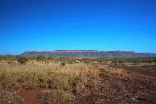 |
Rugged ranges in El Questro Wilderness Park | Longy089 | CC BY-SA 4.0 | Source |
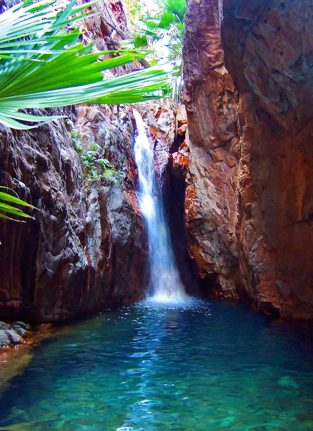 |
Waterfall in El Questro Gorge | Neil | CC BY 2.0 | Source |
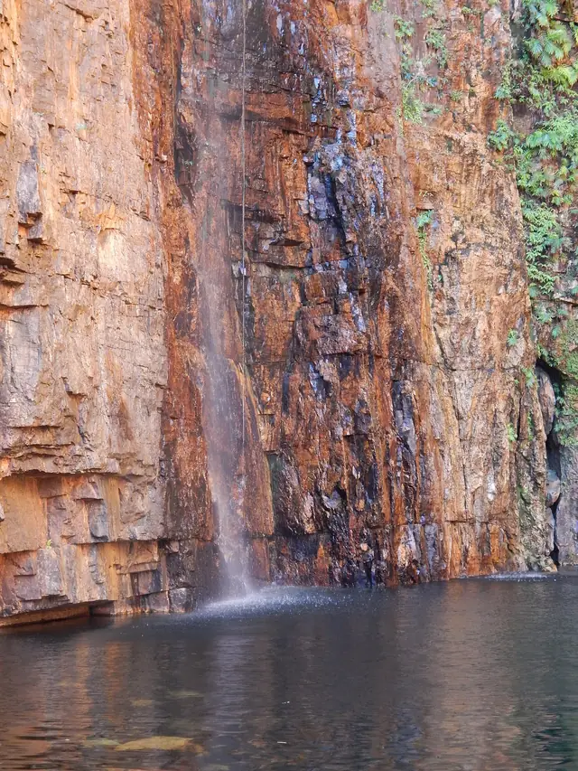 |
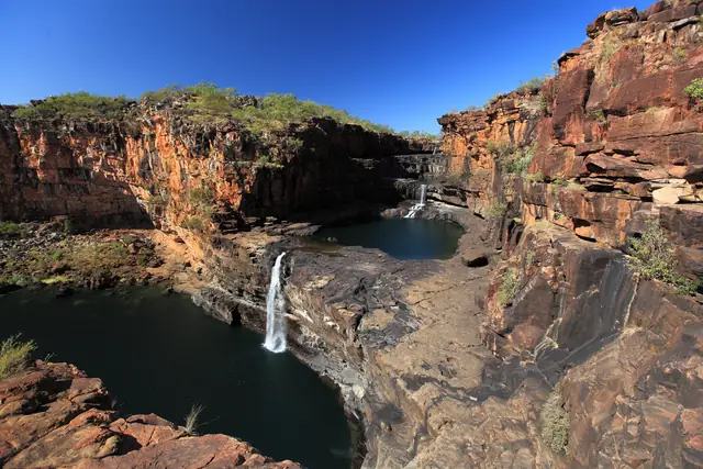
The plunge pool and waterfall at Emma Gorge, El Questro | MissMegido | CC BY-SA 4.0 | Source |
 |
Mitchell Falls cascading over tiered rock in the dry season | Maclearite | CC BY-SA 4.0 | Source |
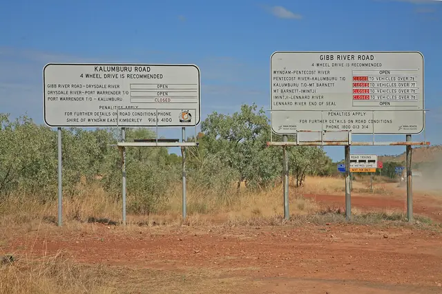 |
Information signs at the start of the Gibb River Road in the Kimberley | W. Bulach | CC BY-SA 4.0 | Source |
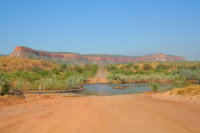 |
The Gibb River Road crossing of the Pentecost River | Bäras | CC BY-SA 3.0 | Source |
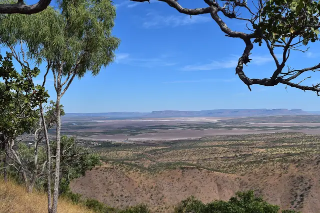 |
View from the Five Rivers Lookout near Wyndham | Haukanin | CC BY-SA 4.0 | Source |
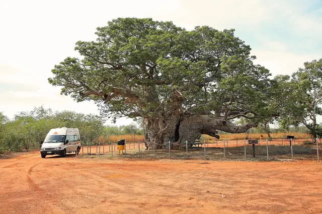 |
A giant boab tree in the Kimberley | W. Bulach | CC BY-SA 4.0 | Source |
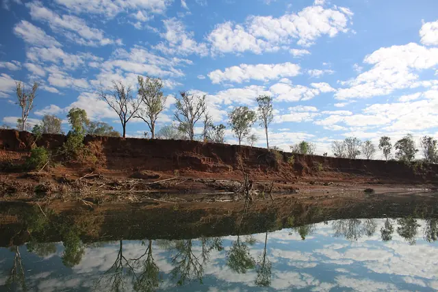 |
Lake Kununurra in the dry season | Longy089 | CC BY-SA 4.0 | Source |


Licences: CC BY and CC BY-SA licences require attribution (above); CC BY-SA images remain under the same licence. CC0 and public-domain images are free of restrictions. If you are a photographer and believe an image is incorrectly credited, please contact us.